

Our Town Common...Finally!
By Will Patten, Hinesburg Town Common Committee
In feudal times, the king and his lords owned everything. But some parcels of land were set aside on which the peasants could graze a cow or cut firewood. These lands, typically subprime or “wastelands,” were called “commons,” which probably indicated their use by the common people rather than a notion of sharing. But as private enterprise began to flourish in the 19th century, these lands were increasingly fenced off for private use.
The commons tradition lived on in colonial America. As towns were chartered, provisions were often made for a parcel of land for public use. On the website of the Association of Commons Registration Authorities we read, “The traditional view of a village green is a mowed space on which cricket matches are played, and maypoles are danced around, with well-placed benches, serving as a meeting place and forming the heart of a town or village.”
These spaces were laid out in the colonial town surveys. Such was the case in Bristol, which was first surveyed in 1785, and Vergennes, in 1786. Both surveys set aside land for a common green in the middle of the settlements. And both towns have beautiful town greens still today. There is no record that we could find of a similar provision in Hinesburg.
There are two explanations. First, Hinesburg’s charter of 1761 granted the lands to “proprietors” who lived in Connecticut and were land speculators. They didn’t live here. The second possible explanation is that Hinesburg developed as an industrial town.
By the end of the Revolutionary War, Hinesburg was thriving due to its unique geology. UVM’s website Place tells us: “The unique geology of the Hinesburg Thrust Fault had a hand in the early cultural history of the town, in that it contributed to the formation of Pond Brook, which flows over the thrust fault and drops 300 feet in one mile. There were 34 mills along the cascading stream and 454 people Hinesburg residents, more than in Burlington at the time. The center of town was called Mechanicsville.
Reminders of this industrial past still exist. Iroquois Manufacturing is a descendent of the water-powered mills, and the canal through the village once funneled cool water to the creamery that is now the Public House.
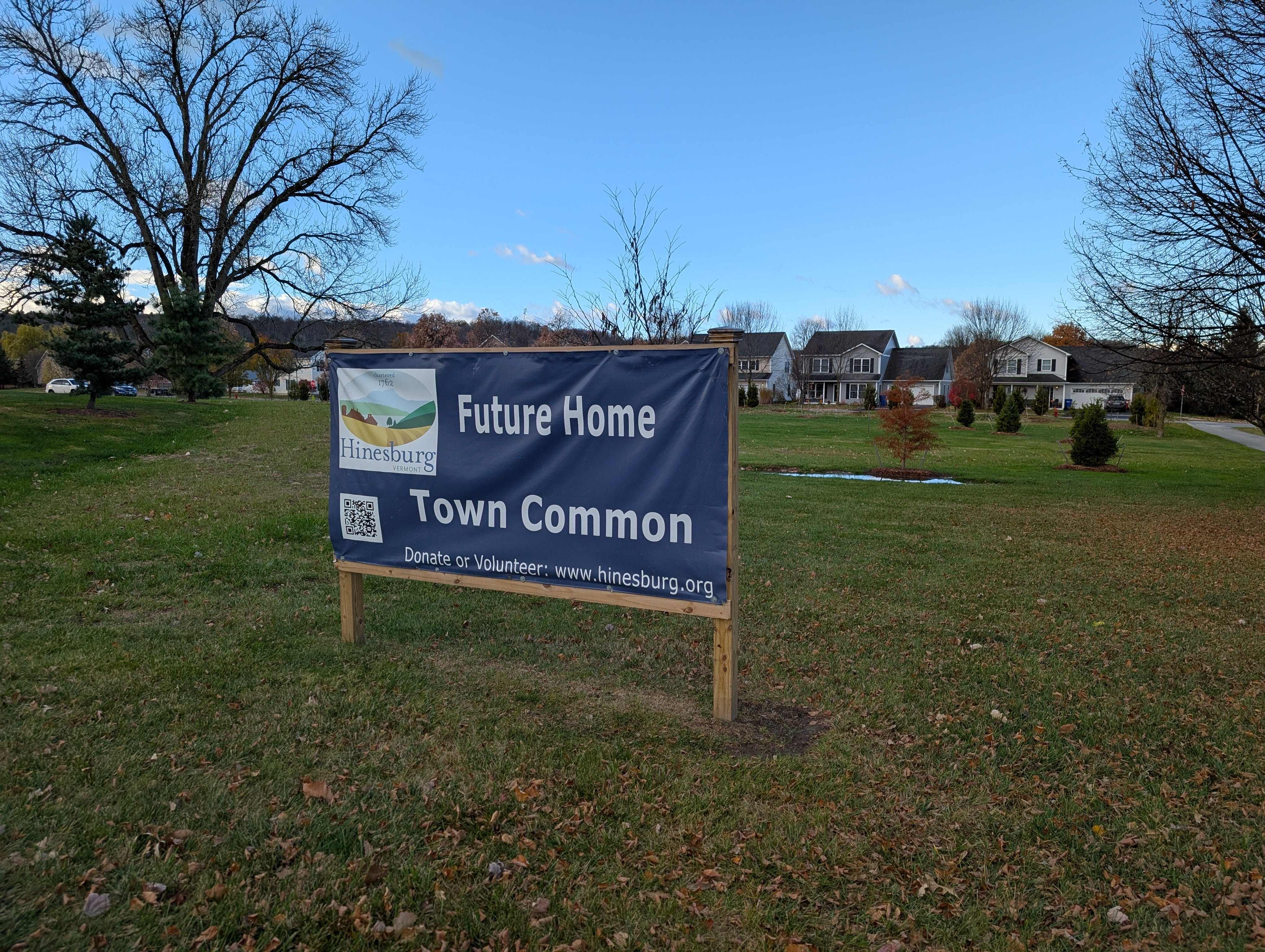
Today, Hinesburg is bisected by the second busiest north-south highway in the state with 11,000 vehicles a day. It’s been a town that most people just try to get through during rush hours. We’ve never had the verdant luxury of a town common like our neighbors in Bristol and Vergennes. But it has been a goal of our Town Plan since 2007.
We, the Hinesburg Town Common Committee, are working to correct an 18th century oversight.